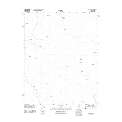
2012 Map of Docs Pass
USGS Topo · Published 2012About this map
Julius Peak and Pine Mountain anchor this high-elevation landscape along the border of Nevada and Utah, where the terrain is defined by a series of steep drainages and mountain crossings. The network of canyons, including Cougar Canyon and Docs Pass Canyon, suggests a challenging environment historically navigated through specific transit points like Docs Pass, Cattle Pass, and Middle Pass. Water sources are critical identifiers in this arid high-country, marked by features such as Oak Spring, Ash Spring, and the uniquely named Water and Ice Falls near Sheep Canyon. Human presence is sparse, indicated by Holts Cabin and the lone Beaver Dam Rd. The presence of the Middle Ridge Exclosure and Ash Spring Exclosure points to modern land management and conservation efforts within the basin and range geology.
Find a feature on this map
30 named features on this map. Tap any name to fly to it.
Don’t see what you’re looking for? This feature index may not catch every label — zoom into the map to look around manually.
Map Details
Editions of this 2012 Docs Pass Map
This is the sole edition of this map. No revisions or reprints were ever made.
Other maps of this area

1885 · St. George
USGS Topo · 1:250,000

1885 · Pioche
USGS Topo · 1:250,000

1886 · Pioche
USGS Topo · 1:250,000

1891 · St. George
USGS Topo · 1:250,000

1953 · Cedar City
USGS Topo · 1:250,000

1954 · Caliente
USGS Topo · 1:250,000

1958 · Cedar City
USGS Topo · 1:250,000

1958 · Docs Pass
USGS Topo · 1:24,000

1959 · Caliente
USGS Topo · 1:250,000

1962 · Cedar City
USGS Topo · 1:250,000