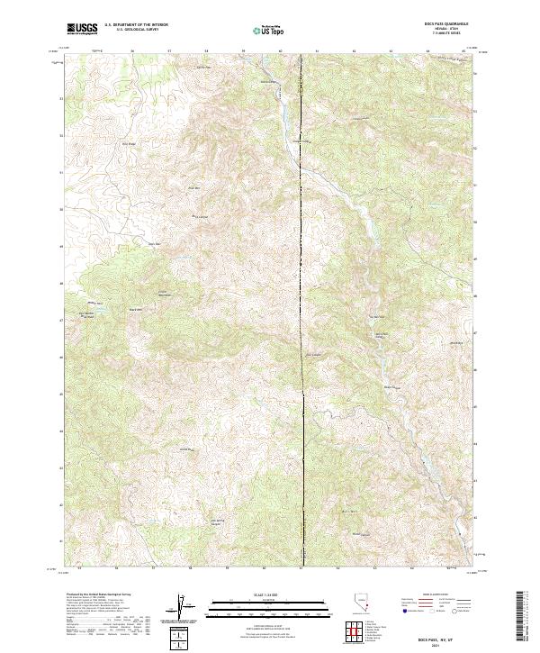
2021 Map of Docs Pass
USGS Topo · Published 2021About this map
The Clover Mountains dominate this high-desert terrain where the borders of Nevada and Utah meet. This 2021 survey traces the intricate drainage patterns of the Beaver Dam Wash as it cuts through the mountains, creating distinctive features like The Narrows and Docs Pass Canyon. The landscape is defined by prominent summits such as Pine Mtn, Black Mtn, Julius Peak, and Bull Mtn, reflecting the complex geology of the Great Basin region.
Find a feature on this map
39 named features on this map. Tap any name to fly to it.
Don’t see what you’re looking for? This feature index may not catch every label — zoom into the map to look around manually.
Map Details
Editions of this 2021 Docs Pass Map
This is the sole edition of this map. No revisions or reprints were ever made.
Other maps of this area

1885 · St. George
USGS Topo · 1:250,000

1885 · Pioche
USGS Topo · 1:250,000

1886 · Pioche
USGS Topo · 1:250,000

1891 · St. George
USGS Topo · 1:250,000

1953 · Cedar City
USGS Topo · 1:250,000

1954 · Caliente
USGS Topo · 1:250,000

1958 · Cedar City
USGS Topo · 1:250,000

1958 · Docs Pass
USGS Topo · 1:24,000

1959 · Caliente
USGS Topo · 1:250,000

1962 · Cedar City
USGS Topo · 1:250,000