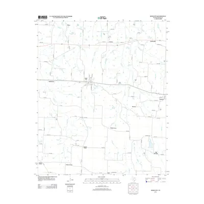
2013 Map of Dodd City
USGS Topo · Published 2013About this map
Dodd City serves as the central hub of this north Texas landscape, where a dense network of country roads connects scattered agricultural communities. This early 21st-century survey reveals a territory defined by its family heritage, as evidenced by numerous burial grounds like Onstott Cem, Wolfe Cem, and the Dodd City Cem. The settlement pattern follows a series of small, dispersed hamlets including Lannius, Windom, and Shady Grove, many of which are linked by the regional artery of Farm Road 1743.
Find a feature on this map
96 named features on this map. Tap any name to fly to it.
Don’t see what you’re looking for? This feature index may not catch every label — zoom into the map to look around manually.
Map Details
Editions of this 2013 Dodd City Map
This is the sole edition of this map. No revisions or reprints were ever made.
Other maps of this area
1903 · Paris
USGS Topo · 1:125,000
1947 · Honey Grove
USGS Topo · 1:62,500
1949 · Honey Grove
USGS Topo · 1:62,500

1953 · Texarkana
USGS Topo · 1:250,000

1954 · Sherman
USGS Topo · 1:250,000

1956 · Texarkana
USGS Topo · 1:250,000
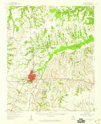
1958 · Bonham
USGS Topo · 1:62,500

1958 · Sherman
USGS Topo · 1:250,000
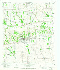
1964 · Ladonia
USGS Topo · 1:24,000
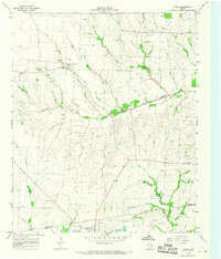
1964 · Gober
USGS Topo · 1:24,000