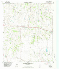
1984 Map of Dodd City
USGS Topo · Published 1985About this map
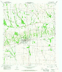
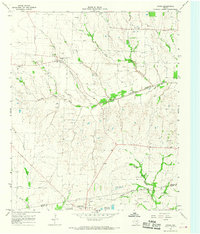
Dodd City serves as the central hub of this north Texas landscape, where the Missouri Pacific railroad cuts a horizontal path through the prairie. The surrounding countryside in the mid-1980s was a patchwork of small agricultural communities like Lannius, Windom, and Shady Grove. The map reveals a high density of rural cemeteries, such as Onstott Cem, Smyrna Cem, and County Home Cem, which reflect the generations of family settlement across Fannin County. Waterways like Sloans Creek and Bullard Creek meander through the terrain, punctuated by local landmarks including a Roadside Park near Brotherton and a Rodeo Ground situated on the eastern edge of the quadrangle. This survey captures the transition of a traditional farming region, where older sites like Prairie Point and Flag Springs persist alongside modern infrastructure like the Water Tank at Cotton Center.
Find a feature on this map
40 named features on this map. Tap any name to fly to it.
Don’t see what you’re looking for? This feature index may not catch every label — zoom into the map to look around manually.
Map Details
Editions of this 1984 Dodd City Map
This is the sole edition of this map. No revisions or reprints were ever made.
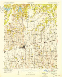
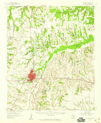
Other maps of this area

1903 · Paris
USGS Topo · 1:125,000
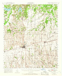
1947 · Honey Grove
USGS Topo · 1:62,500
1949 · Honey Grove
USGS Topo · 1:62,500

1953 · Texarkana
USGS Topo · 1:250,000

1954 · Sherman
USGS Topo · 1:250,000

1956 · Texarkana
USGS Topo · 1:250,000
1958 · Bonham
USGS Topo · 1:62,500

1958 · Sherman
USGS Topo · 1:250,000
1964 · Ladonia
USGS Topo · 1:24,000
1964 · Gober
USGS Topo · 1:24,000