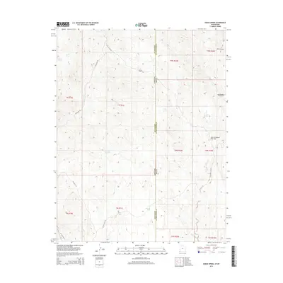
2014 Map of Dodge Spring
USGS Topo · Published 2014About this map
The Nevada-Utah state line bisects this high-desert landscape where Lincoln and Washington counties meet. This arid terrain is defined by a sparse but vital network of water sources, including Betsy Spring, Rueben Spring, and the namesake Dodge Spring. Ranching and remote travel infrastructure are evident in the presence of Halfway Camp and the Ooze Flat Reservoir, which capture the limited runoff in an area dominated by deep drainage systems like the East Fork Beaver Dam Wash. The map documents a rugged frontier environment where unpaved routes such as Halfway Camp Rd and Bunker Pass Rd provide the only access through topographic landmarks like Horse Canyon and the dry beds of East Bunker Peak Wash.
Find a feature on this map
26 named features on this map. Tap any name to fly to it.
Don’t see what you’re looking for? This feature index may not catch every label — zoom into the map to look around manually.
Map Details
Editions of this 2014 Dodge Spring Map
This is the sole edition of this map. No revisions or reprints were ever made.
Other maps of this area

1885 · St. George
USGS Topo · 1:250,000

1885 · Pioche
USGS Topo · 1:250,000

1886 · Pioche
USGS Topo · 1:250,000

1891 · St. George
USGS Topo · 1:250,000

1953 · Cedar City
USGS Topo · 1:250,000

1954 · Caliente
USGS Topo · 1:250,000

1958 · Cedar City
USGS Topo · 1:250,000

1958 · Docs Pass
USGS Topo · 1:24,000

1959 · Caliente
USGS Topo · 1:250,000

1962 · Cedar City
USGS Topo · 1:250,000