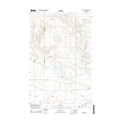
2014 Map of Dodson Dam
USGS Topo · Published 2014About this map
The Milk River carves a complex, meandering path across this North-Central Montana landscape, defining the topography near the Phillips and Blaine County line. At the heart of this river system sits Dodson Dam, a key piece of water infrastructure that regulates flow through the valley. The settlement of Dodson occupies the southeastern reach of the map, served by Us-2 and Savoy Rd, illustrating the corridor's reliance on the river and its parallel transportation routes.
Find a feature on this map
26 named features on this map. Tap any name to fly to it.
Don’t see what you’re looking for? This feature index may not catch every label — zoom into the map to look around manually.
Map Details
Editions of this 2014 Dodson Dam Map
This is the sole edition of this map. No revisions or reprints were ever made.
Other maps of this area

1920 · Avery
USGS Topo · 1:125,000

1953 · Havre
USGS Topo · 1:250,000

1957 · Havre
USGS Topo · 1:250,000

1958 · Havre
USGS Topo · 1:250,000

1964 · Coburg
USGS Topo · 1:24,000

1964 · Coburg SE
USGS Topo · 1:24,000

1964 · Weigand Reservoir
USGS Topo · 1:24,000

1964 · Dodson
USGS Topo · 1:24,000

1964 · Cow Creek
USGS Topo · 1:24,000

1964 · Dodson Dam
USGS Topo · 1:24,000