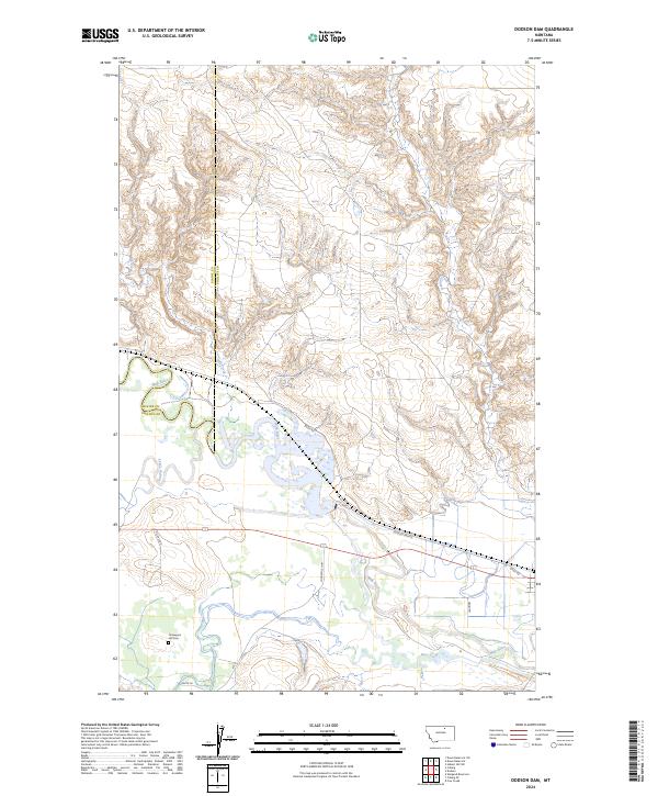
2024 Map of Dodson Dam
USGS Topo · Published 2024About this map
The Milk River winds through this northern Montana landscape, defining a wide floodplain where Peoples Creek and Milk Creek converge with the primary waterway. The terrain is marked by the boundary between Blaine Co and Phillips Co, illustrating the administrative divisions of this ranching and agricultural region. High ground above the river valley is home to Graveyard Hill Cem, a localized landmark overlooking the intersection of Lodgepole Hwy and the meandering river bends.
Find a feature on this map
19 named features on this map. Tap any name to fly to it.
Don’t see what you’re looking for? This feature index may not catch every label — zoom into the map to look around manually.
Map Details
Editions of this 2024 Dodson Dam Map
This is the sole edition of this map. No revisions or reprints were ever made.
Other maps of this area

1920 · Avery
USGS Topo · 1:125,000

1953 · Havre
USGS Topo · 1:250,000

1957 · Havre
USGS Topo · 1:250,000

1958 · Havre
USGS Topo · 1:250,000

1964 · Coburg
USGS Topo · 1:24,000

1964 · Coburg SE
USGS Topo · 1:24,000

1964 · Weigand Reservoir
USGS Topo · 1:24,000

1964 · Dodson
USGS Topo · 1:24,000

1964 · Cow Creek
USGS Topo · 1:24,000

1964 · Dodson Dam
USGS Topo · 1:24,000