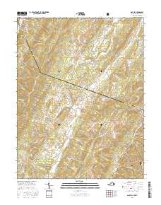
2016 Map of Doe Hill
USGS Topo · Published 2016About this map
The Bullpasture River and the S Fork S Br Potomac River carve through the high ridges of the Virginia and West Virginia borderlands, defining the rural character of this Highland County landscape. Settlement is concentrated along the narrow valley floors, anchored by Doe Hill and the historical site of Sirons Mill. The area's agricultural and domestic history is etched into the terrain through numerous named water sources, including Sanders Farm Spring, Judy Spring, and Hiner Springs.
Find a feature on this map
71 named features on this map. Tap any name to fly to it.
Don’t see what you’re looking for? This feature index may not catch every label — zoom into the map to look around manually.
Map Details
Editions of this 2016 Doe Hill Map
This is the sole edition of this map. No revisions or reprints were ever made.
Other maps of this area

1889 · Beverly
USGS Topo · 1:125,000

1892 · Beverly
USGS Topo · 1:125,000

1892 · Franklin
USGS Topo · 1:125,000

1894 · Staunton
USGS Topo · 1:125,000

1896 · Franklin
USGS Topo · 1:125,000

1901 · Monterey
USGS Topo · 1:125,000

1922 · Spruce Knob
USGS Topo · 1:48,000

1922 · Circleville
USGS Topo · 1:62,500

1924 · Circleville
USGS Topo · 1:48,000

1924 · Mc Dowell
USGS Topo · 1:62,500