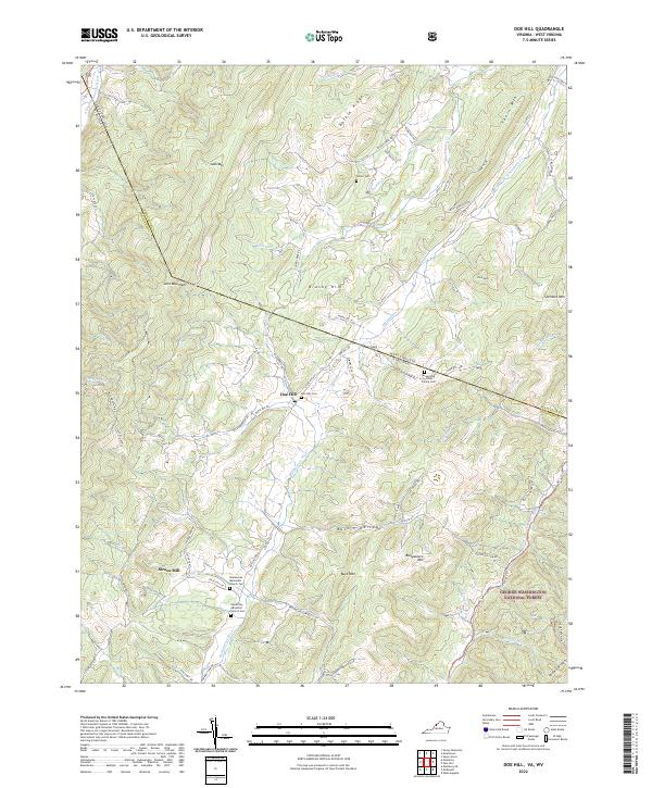
2022 Map of Doe Hill
USGS Topo · Published 2022About this map
The Bullpasture River and its numerous tributaries carve through the parallel ridges of the Allegheny Mountains in this high-altitude section of the Virginia and West Virginia border. The settlement of Doe Hill serves as a central point for the surrounding rural community, where family lineage is preserved at sites like the Armstrong/Hiner Family Cem and the Doe Hill Cem. Further south, Sirons Mill sits along Mill Run, reflecting the early importance of water power in these narrow valleys.
Find a feature on this map
75 named features on this map. Tap any name to fly to it.
Don’t see what you’re looking for? This feature index may not catch every label — zoom into the map to look around manually.
Map Details
Editions of this 2022 Doe Hill Map
This is the sole edition of this map. No revisions or reprints were ever made.
Other maps of this area

1889 · Beverly
USGS Topo · 1:125,000

1892 · Beverly
USGS Topo · 1:125,000

1892 · Franklin
USGS Topo · 1:125,000

1894 · Staunton
USGS Topo · 1:125,000

1896 · Franklin
USGS Topo · 1:125,000

1901 · Monterey
USGS Topo · 1:125,000

1922 · Spruce Knob
USGS Topo · 1:48,000

1922 · Circleville
USGS Topo · 1:62,500

1924 · Circleville
USGS Topo · 1:48,000

1924 · Mc Dowell
USGS Topo · 1:62,500