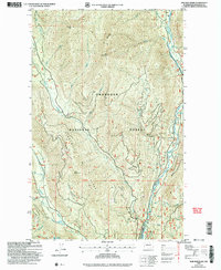
2002 Map of Doe Mountain
USGS Topo · Published 2006About this map
Okanogan National Forest defines this high-elevation landscape, where the Chewuch River carves a deep north-south valley along the eastern edge of the quadrangle. The terrain is characterized by massive peaks and ridges, including Farewell Peak, Doe Mountain, and Lamb Butte. This area, updated in the early 2000s, shows a wilderness managed for both natural preservation and local resource use, evidenced by the presence of the Methow State Wildlife Area in the south and a Gravel Pit near the river.
Find a feature on this map
30 named features on this map. Tap any name to fly to it.
Don’t see what you’re looking for? This feature index may not catch every label — zoom into the map to look around manually.
Map Details
Editions of this 2002 Doe Mountain Map
This is the sole edition of this map. No revisions or reprints were ever made.
Other maps of this area

1955 · Concrete
USGS Topo · 1:250,000

1958 · Concrete
USGS Topo · 1:250,000

1962 · Concrete
USGS Topo · 1:250,000

1962 · Mazama
USGS Topo · 1:62,500

1963 · Doe Mountain
USGS Topo · 1:62,500

1969 · Mt. Barney
USGS Topo · 1:24,000

1969 · Billy Goat Mtn
USGS Topo · 1:24,000
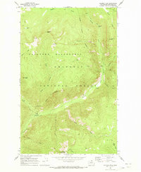
1969 · Coleman Peak
USGS Topo · 1:24,000
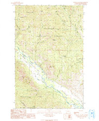
1991 · Rendevous Mountain
USGS Topo · 1:24,000
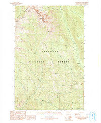
1991 · Sweetgrass Butte
USGS Topo · 1:24,000