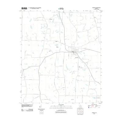
2011 Map of Doerun
USGS Topo · Published 2011About this map
Doerun serves as the central hub of this agricultural landscape in Southwest Georgia, centered on the Doerun Post Office and a grid of local thoroughfares. The surrounding countryside is defined by the winding course of the Ochlockonee River to the east and the intricate drainage of Bridge Creek and Mill Creek through the central fields. Smaller settlements such as Ticknor, Pritchetts, and Minnesota are connected by a network of rural routes like Thigpen Trl and Mount Sinai Rd.
Find a feature on this map
63 named features on this map. Tap any name to fly to it.
Don’t see what you’re looking for? This feature index may not catch every label — zoom into the map to look around manually.
Map Details
Editions of this 2011 Doerun Map
This is the sole edition of this map. No revisions or reprints were ever made.
Other maps of this area

1953 · Dothan
USGS Topo · 1:250,000

1953 · Waycross
USGS Topo · 1:250,000

1954 · Dothan
USGS Topo · 1:250,000

1955 · Dothan
USGS Topo · 1:250,000

1956 · Baconton
USGS Topo · 1:62,500

1956 · Doerun
USGS Topo · 1:62,500

1958 · Waycross
USGS Topo · 1:250,000

1971 · Cotton
USGS Topo · 1:24,000
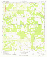
1974 · Putney
USGS Topo · 1:24,000
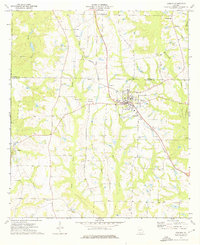
1974 · Doerun
USGS Topo · 1:24,000