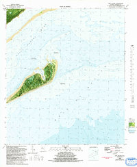
1982 Map of Dog Island
USGS Topo · Published 1992About this map
Dog Island sits as a critical barrier between the Saint George Sound and the open Gulf of Mexico in this orthophotomap based on mid-1970s aerial photography. The map reveals the island's complex coastal geomorphology, including the protected waters of Tysons Harbor and the expansive Dog Island Reef to the east. Extensive shoals and maritime hazards are indicated by the presence of Lanark Reef and several navigation lights. The cartography notes that much of the surrounding shoal area is subject to frequent change, reflecting the dynamic nature of the Florida Panhandle coastline. This hybrid topographic-bathymetric study captures the island before significant modern shifts, detailing the transit path of the Ferry that linked this isolated landmass to the mainland near the Sopchoppy and Lanark Village areas.
Find a feature on this map
9 named features on this map. Tap any name to fly to it.
Don’t see what you’re looking for? This feature index may not catch every label — zoom into the map to look around manually.
Map Details
Editions of this 1982 Dog Island Map
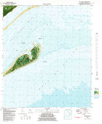
2 editions found
Other maps of this area

1943 · Dog Island
USGS Topo · 1:31,680

1943 · Carrabelle
USGS Topo · 1:24,000

1943 · St. Teresa Beach
USGS Topo · 1:24,000

1944 · Pickett Bay
USGS Topo · 1:31,680

1944 · Carrabelle
USGS Topo · 1:31,680

1944 · Sugar Hill
USGS Topo · 1:31,680

1945 · Mc Intyre
USGS Topo · 1:31,680

1945 · Sugar Hill
USGS Topo · 1:31,680

1945 · St Teresa
USGS Topo · 1:31,680

1945 · Pickett Bay
USGS Topo · 1:31,680