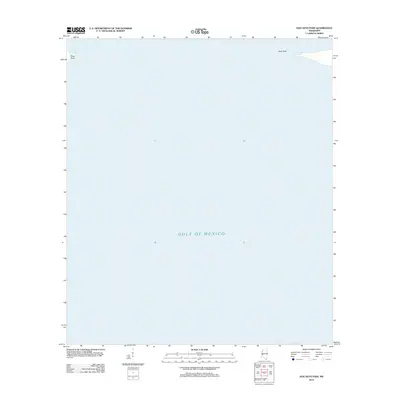
2012 Map of Dog Keys Pass
USGS Topo · Published 2012About this map
The Gulf of Mexico dominates this coastal survey, where the waters of the Mississippi Sound meet the open sea. This particular area focuses on the critical maritime corridor known as Dog Keys Pass, defined by the narrow landforms of East Point and West Point. Because this map covers a volatile maritime environment, it emphasizes the shifting coastal geography rather than inland development, providing a clear record of these points as they existed in the early twenty-first century. For those studying the natural history of the Mississippi barrier islands, the sheet captures the exact alignment of these landmarks before subsequent storm cycles or sediment shifts could alter their profile.
Find a feature on this map
3 named features on this map. Tap any name to fly to it.
Don’t see what you’re looking for? This feature index may not catch every label — zoom into the map to look around manually.
Map Details
Editions of this 2012 Dog Keys Pass Map
This is the sole edition of this map. No revisions or reprints were ever made.
Other maps of this area

1941 · Horn Island
USGS Topo · 1:62,500

1942 · Horn Island
USGS Topo · 1:62,500

1943 · Pascagoula
USGS Topo · 1:62,500

1950 · Dog Keys Pass
USGS Topo · 1:24,000

1950 · Ship Island
USGS Topo · 1:24,000

1951 · Chandeleur Light
USGS Topo · 1:24,000

1953 · Mobile
USGS Topo · 1:250,000

1954 · Deer Island
USGS Topo · 1:24,000

1954 · Biloxi
USGS Topo · 1:62,500

1955 · Pascagoula
USGS Topo · 1:62,500