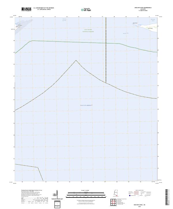
2025 Map of Dog Keys Pass
USGS Topo · Published 2025About this map
Gulf Islands National Seashore defines this maritime landscape, where the barrier islands of the Mississippi coast meet the open water. The map documents the eastern tip of Ship Island at East Point and the western reaches of Horn Island at West Point, separated by the navigable waters of Dog Keys Pass and Little Dog Keys Pass. This coastal boundary marks the transition from the sheltered Mississippi Sound to the expansive Gulf of America. The lack of inland development emphasizes the primary role of these islands as natural buffers and federally protected habitats, providing a clear record of the shoreline and shoals as they exist in the mid-2020s. For researchers of coastal morphology or local maritime history, the positioning of these passes and points offers a precise baseline for understanding the shifting sands of the Gulf.
Find a feature on this map
9 named features on this map. Tap any name to fly to it.
Don’t see what you’re looking for? This feature index may not catch every label — zoom into the map to look around manually.
Map Details
Editions of this 2025 Dog Keys Pass Map
This is the sole edition of this map. No revisions or reprints were ever made.
Other maps of this area

1941 · Horn Island
USGS Topo · 1:62,500

1942 · Horn Island
USGS Topo · 1:62,500

1943 · Pascagoula
USGS Topo · 1:62,500

1950 · Dog Keys Pass
USGS Topo · 1:24,000

1950 · Ship Island
USGS Topo · 1:24,000

1951 · Chandeleur Light
USGS Topo · 1:24,000

1953 · Mobile
USGS Topo · 1:250,000

1954 · Deer Island
USGS Topo · 1:24,000

1954 · Biloxi
USGS Topo · 1:62,500

1955 · Pascagoula
USGS Topo · 1:62,500