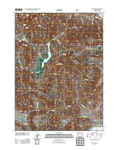
2011 Map of Dog Lake
USGS Topo · Published 2011About this map
Dog Lake sits at the center of this 2011 survey, surrounded by a complex network of springs and intermittent drainages in the high country of Lake County. The landscape is characterized by its numerous water sources, such as Big Dog Spring, Kitty Spring, and Mine Spring, which have long served ranching and wildlife interests. Local history and land use are reflected in family-named locations like Ross Ranch and the Fred Ross settlement area, while prominent landmarks like Castle Rock and Dog Mountain define the horizon. The presence of Drews Reservoir in the northeast corner and the winding course of Dog Creek illustrate the vital role of water management in this arid region, providing a detailed look at the rural topography of southern Oregon at the start of the 21st century.
Find a feature on this map
40 named features on this map. Tap any name to fly to it.
Don’t see what you’re looking for? This feature index may not catch every label — zoom into the map to look around manually.
Map Details
Editions of this 2011 Dog Lake Map
This is the sole edition of this map. No revisions or reprints were ever made.
Other maps of this area

1886 · Alturas
USGS Topo · 1:250,000

1892 · Alturas
USGS Topo · 1:250,000

1954 · Alturas
USGS Topo · 1:250,000

1955 · Klamath Falls
USGS Topo · 1:250,000

1958 · Alturas
USGS Topo · 1:250,000

1958 · Klamath Falls
USGS Topo · 1:250,000

1960 · Strawberry Butte
USGS Topo · 1:62,500

1962 · Alturas
USGS Topo · 1:250,000

1962 · Steele Swamp
USGS Topo · 1:62,500

1962 · South Mountain
USGS Topo · 1:62,500