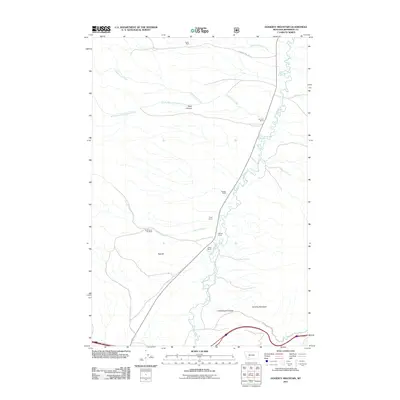
2011 Map of Doherty Mountain
USGS Topo · Published 2011About this map
Boulder River meanders through this portion of Jefferson County, defining a landscape of ranching and historical mining. The terrain is marked by significant vertical relief, rising from the river valley to the peak of Doherty Mountain and the steep walls of Black Canyon. This 2011 survey documents a series of established family-named properties along the river corridor, including Brenner Ranch, Pryor Ranch, and Elliott Ranch.
Find a feature on this map
18 named features on this map. Tap any name to fly to it.
Don’t see what you’re looking for? This feature index may not catch every label — zoom into the map to look around manually.
Map Details
Editions of this 2011 Doherty Mountain Map
This is the sole edition of this map. No revisions or reprints were ever made.
Other maps of this area

1886 · Fort Logan
USGS Topo · 1:250,000

1888 · Three Forks
USGS Topo · 1:250,000

1889 · Helena
USGS Topo · 1:250,000

1893 · Helena
USGS Topo · 1:250,000

1893 · Dillon
USGS Topo · 1:250,000

1894 · Three Forks
USGS Topo · 1:250,000

1895 · Three Forks
USGS Topo · 1:250,000

1899 · Boulder
USGS Topo · 1:125,000

1899 · Helena
USGS Topo · 1:250,000

1903 · Helena
USGS Topo · 1:250,000