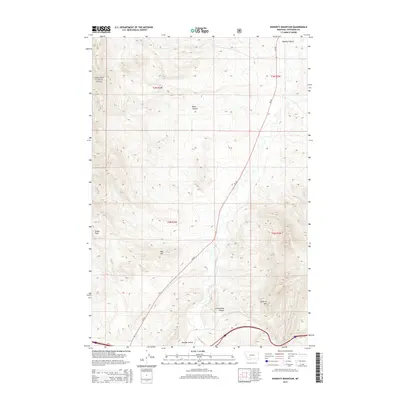
2014 Map of Doherty Mountain
USGS Topo · Published 2014About this map
Deerlodge National Forest lands dominate the western edge of this Jefferson County landscape, where the high country transitions into the sweeping Boulder Valley. The topography is defined by dramatic elevations and deep drainages, including Black Canyon and Cottonwood Canyon, which carve through the foothills of Doherty Mtn. This 2014 survey documents a rugged portion of Montana where transportation is limited to primary corridors like MT-69, which follows the natural grade of the valley floor. The map highlights distinct landmarks such as Sheep Rock and Red Hill, providing a clear record of the area's natural boundaries and the interface between public forest lands and the valley's open terrain.
Find a feature on this map
14 named features on this map. Tap any name to fly to it.
Don’t see what you’re looking for? This feature index may not catch every label — zoom into the map to look around manually.
Map Details
Editions of this 2014 Doherty Mountain Map
This is the sole edition of this map. No revisions or reprints were ever made.
Other maps of this area

1886 · Fort Logan
USGS Topo · 1:250,000

1888 · Three Forks
USGS Topo · 1:250,000

1889 · Helena
USGS Topo · 1:250,000

1893 · Helena
USGS Topo · 1:250,000

1893 · Dillon
USGS Topo · 1:250,000

1894 · Three Forks
USGS Topo · 1:250,000

1895 · Three Forks
USGS Topo · 1:250,000

1899 · Boulder
USGS Topo · 1:125,000

1899 · Helena
USGS Topo · 1:250,000

1903 · Helena
USGS Topo · 1:250,000