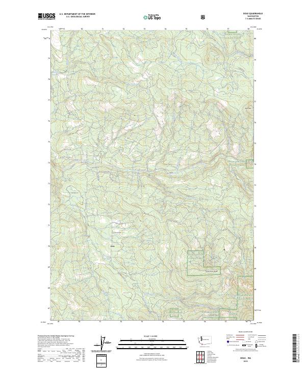
2023 Map of Dole
USGS Topo · Published 2023About this map
The settlement of Dole serves as a quiet center point for this corner of Washington, situated where the terrain begins its ascent into the southern reaches of the Gifford Pinchot National Forest. This modern survey reveals a landscape defined by an intricate network of waterways, including the East Fork Lewis River and its numerous tributaries such as Niccolls Creek, Roger Creek, and Reinhardt Creek. The presence of Horseshoe Falls and the Yacolt Reservoir underscores the importance of water resources in this timbered region.
Find a feature on this map
43 named features on this map. Tap any name to fly to it.
Don’t see what you’re looking for? This feature index may not catch every label — zoom into the map to look around manually.
Map Details
Editions of this 2023 Dole Map
This is the sole edition of this map. No revisions or reprints were ever made.
Historical Maps of Skamania County Through Time
14 maps found
1954 Lacamas Creek
Clark County, WA
1971 Ariel
Clark County, WA
1986 Dole
Clark County, WA
1986 Larch Mtn
Clark County, WA
1986 Yale Dam
Clark County, WA
1990 Lacamas Creek
Clark County, WA
2000 Dole
Clark County, WA
2000 Larch Mountain
Clark County, WA
2000 Yale Dam
Clark County, WA
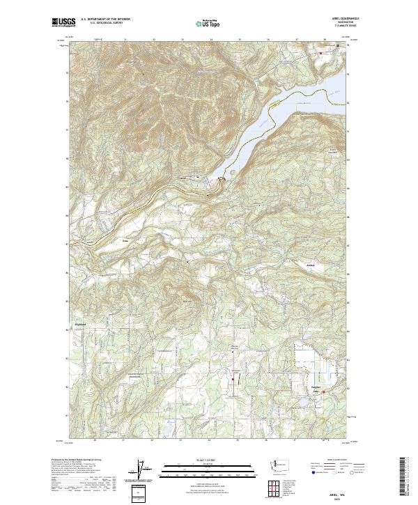
2023 Ariel
Clark County, WA
2023 Dole
Clark County, WA
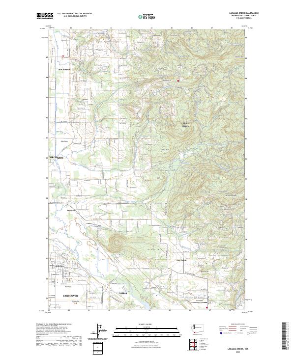
2023 Lacamas Creek
Clark County, WA
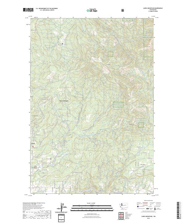
2023 Larch Mountain
Clark County, WA
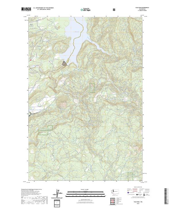
2023 Yale Dam
Clark County, WA