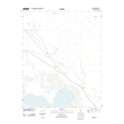
2012 Map of Dolomite
USGS Topo · Published 2012About this map
Swansea and the industrial outposts of Dolomite and Alico sit along the base of the Inyo Mountains in this 2012 topographic study of the Owens Valley. The landscape is defined by the braided channels of the Owens River as it moves across the valley floor toward the southern marshes. Small settlements and sidings like Mock are connected by a network of local routes, including the Dolomite Loop and Owenyo Lone Pine Rd, which follow the historical paths of the region's transport corridors.
Find a feature on this map
10 named features on this map. Tap any name to fly to it.
Don’t see what you’re looking for? This feature index may not catch every label — zoom into the map to look around manually.
Map Details
Editions of this 2012 Dolomite Map
This is the sole edition of this map. No revisions or reprints were ever made.
Other maps of this area

1905 · Olancha
USGS Topo · 1:125,000

1907 · Olancha
USGS Topo · 1:125,000

1907 · Mt. Whitney
USGS Topo · 1:125,000

1908 · Ballarat
USGS Topo · 1:250,000

1913 · Ballarat
USGS Topo · 1:250,000

1919 · Mt. Whitney
USGS Topo · 1:125,000

1937 · Mt. Whitney
USGS Topo · 1:125,000

1948 · Death Valley
USGS Topo · 1:250,000

1948 · Fresno
USGS Topo · 1:250,000

1950 · New York Butte
USGS Topo · 1:62,500