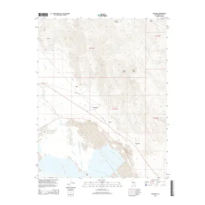
2015 Map of Dolomite
USGS Topo · Published 2015About this map
Owens Lake dominates the southern landscape of this Inyo County survey, where the arid basin meets the steep eastern slopes of the White-Inyo Range. The settlement pattern follows the base of the mountains, tracing a history of mineral extraction and transport along the edge of the Mojave Desert. Small stopping points and industrial sites like Dolomite, Alico, and Mock are linked by the Dolomite Loop, while the community of Swansea sits near the historic shoreline. This map illustrates the stark geography where the Owens River enters the massive terminal lakebed, framed by dramatic landforms such as Long John Canyon and Daisy Canyon. The topography reveals the complex drainage patterns and alluvial fans that define this high-desert environment, providing a detailed record of the region's unique hydrological and geological character.
Find a feature on this map
16 named features on this map. Tap any name to fly to it.
Don’t see what you’re looking for? This feature index may not catch every label — zoom into the map to look around manually.
Map Details
Editions of this 2015 Dolomite Map
This is the sole edition of this map. No revisions or reprints were ever made.
Other maps of this area

1905 · Olancha
USGS Topo · 1:125,000

1907 · Olancha
USGS Topo · 1:125,000

1907 · Mt. Whitney
USGS Topo · 1:125,000

1908 · Ballarat
USGS Topo · 1:250,000

1913 · Ballarat
USGS Topo · 1:250,000

1919 · Mt. Whitney
USGS Topo · 1:125,000

1937 · Mt. Whitney
USGS Topo · 1:125,000

1948 · Death Valley
USGS Topo · 1:250,000

1948 · Fresno
USGS Topo · 1:250,000

1950 · New York Butte
USGS Topo · 1:62,500