
1965 Map of Dolores West
USGS Topo · Published 1968About this map
The Dolores River valley and its surrounding mesas are the focus of this mid-1960s survey, illustrating a landscape defined by complex irrigation and ranching infrastructure. The town of Dolores sits at the river's bend, while the uplands to the west are organized around agricultural settlements like Lebanon and Arriola. A sophisticated water management system is evident, featuring the Mc Phee Canal, Main Canal No 1, and the Narraguinnep Reservoir, which support the high-altitude farming operations.
Find a feature on this map
41 named features on this map. Tap any name to fly to it.
Don’t see what you’re looking for? This feature index may not catch every label — zoom into the map to look around manually.
Map Details
Editions of this 1965 Dolores West Map
2 editions found

Other maps of this area

1956 · Cortez
USGS Topo · 1:250,000

1958 · Cortez SW
USGS Topo · 1:24,000

1958 · Cortez
USGS Topo · 1:250,000

1959 · Cortez
USGS Topo · 1:250,000

1962 · Cortez
USGS Topo · 1:250,000

1965 · Cortez
USGS Topo · 1:24,000

1965 · Dolores East
USGS Topo · 1:24,000

1965 · Yellow Jacket
USGS Topo · 1:24,000
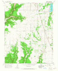
1965 · Arriola
USGS Topo · 1:24,000
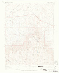
1965 · Point Lookout
USGS Topo · 1:24,000