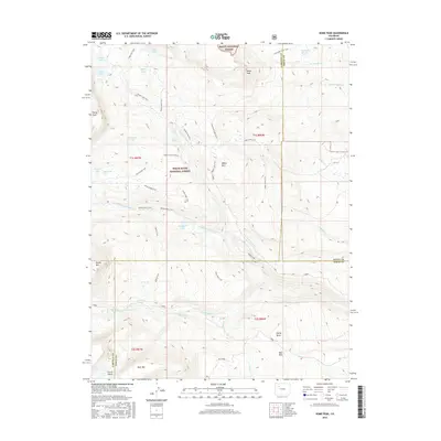
2016 Map of Dome Peak
USGS Topo · Published 2016About this map
Routt National Forest and White River National Forest coverage dominates this 2016 survey of high-elevation terrain along the Garfield, Routt, and Eagle County boundaries. The topography is defined by prominent summits including Dome Peak, Derby Peak, and Sheep Mtn, with the vast Derby Mesa situated in the southeast. A network of alpine water bodies, such as Emerald Lake and McMillan Lake, feeds into a complex drainage system that includes Middle Derby, Cedar Cr, and Trail Cr. Human modification of this landscape is evidenced by the Lion Basin Ditch and S Derby Ditch, which redirect water through the basins. The map also delineates an extensive trail system for navigation through the parklands, featuring the Bear Park Trail, Indian Cliffs Trail, and Island Lakes Trail.
Find a feature on this map
57 named features on this map. Tap any name to fly to it.
Don’t see what you’re looking for? This feature index may not catch every label — zoom into the map to look around manually.
Map Details
Editions of this 2016 Dome Peak Map
This is the sole edition of this map. No revisions or reprints were ever made.
Other maps of this area

1927 · Glenwood Springs
USGS Topo · 1:125,000

1930 · Glenwood Springs
USGS Topo · 1:125,000

1954 · Craig
USGS Topo · 1:250,000

1957 · Craig
USGS Topo · 1:250,000

1957 · Leadville
USGS Topo · 1:250,000

1958 · Craig
USGS Topo · 1:250,000

1959 · Leadville
USGS Topo · 1:250,000

1960 · Leadville
USGS Topo · 1:250,000

1960 · Craig
USGS Topo · 1:250,000

1962 · Leadville
USGS Topo · 1:250,000