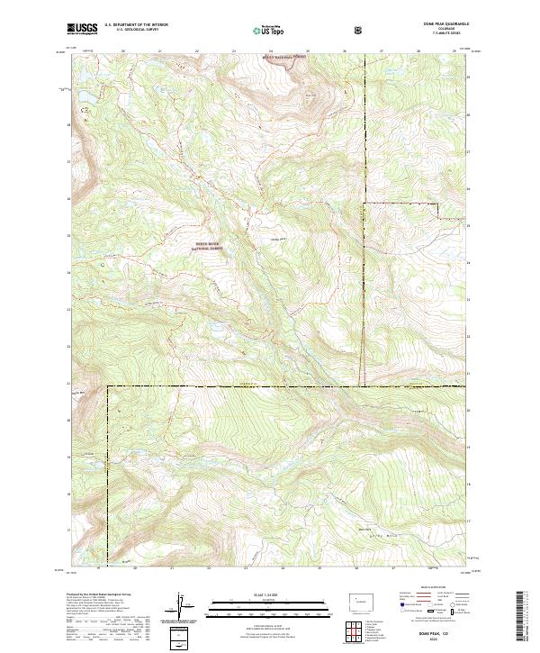
2022 Map of Dome Peak
USGS Topo · Published 2022About this map
Routt National Forest and White River National Forest converge in this high-altitude landscape, where the headwaters of the Derby Cr drainage system carve through the alpine terrain. The map reveals an intricate network of water management features, including the Lion Basin Ditch and S Derby Ditch, which redirect snowmelt across the slopes of Derby Mesa. These diversions illustrate the historical necessity of water rights and irrigation infrastructure even in the most isolated portions of the Colorado wilderness.
Find a feature on this map
54 named features on this map. Tap any name to fly to it.
Don’t see what you’re looking for? This feature index may not catch every label — zoom into the map to look around manually.
Map Details
Editions of this 2022 Dome Peak Map
This is the sole edition of this map. No revisions or reprints were ever made.
Other maps of this area

1927 · Glenwood Springs
USGS Topo · 1:125,000

1930 · Glenwood Springs
USGS Topo · 1:125,000

1954 · Craig
USGS Topo · 1:250,000

1957 · Craig
USGS Topo · 1:250,000

1957 · Leadville
USGS Topo · 1:250,000

1958 · Craig
USGS Topo · 1:250,000

1959 · Leadville
USGS Topo · 1:250,000

1960 · Leadville
USGS Topo · 1:250,000

1960 · Craig
USGS Topo · 1:250,000

1962 · Leadville
USGS Topo · 1:250,000