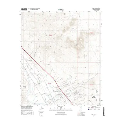
2017 Map of Dona Ana
USGS Topo · Published 2017About this map
The Doña Ana Mountains dominate the landscape in this high-desert region, rising sharply above the Mesilla Valley and the northern outskirts of Las Cruces. This survey provides a clear picture of the sophisticated irrigation network supporting the valley's agriculture, with the Rio Grande flanked by the Leasburg Canal, Shalem Drain, and Hill Lateral. These waterways sustain the land between the jagged peaks of the Robledo Mountains to the west and the prominent Doña Ana Peak to the east.
Find a feature on this map
112 named features on this map. Tap any name to fly to it.
Don’t see what you’re looking for? This feature index may not catch every label — zoom into the map to look around manually.
Map Details
Editions of this 2017 Dona Ana Map
This is the sole edition of this map. No revisions or reprints were ever made.
Other maps of this area

1891 · Las Cruces
USGS Topo · 1:125,000

1893 · Las Cruces
USGS Topo · 1:125,000

1916 · Tonuco
USGS Topo · 1:125,000

1932 · Tonuco
USGS Topo · 1:125,000

1941 · Las Cruces
USGS Topo · 1:62,500

1941 · Organ Peak
USGS Topo · 1:62,500

1943 · Organ Peak
USGS Topo · 1:62,500

1943 · Las Cruces
USGS Topo · 1:62,500

1948 · Bear Peak
USGS Topo · 1:62,500

1948 · San Diego Mountain
USGS Topo · 1:62,500