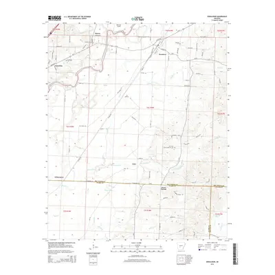
2014 Map of Donaldson
USGS Topo · Published 2014About this map
The Ouachita River creates a meandering natural corridor through this landscape south of Donaldson, where the terrain begins to slope toward the river bottoms. This 2014 survey captures several distinct communities including Midway, Friendship, and Faber, illustrating a classic Arkansas settlement pattern of small towns linked by rural highways and local routes like Witherspoon Rd. The presence of Dutherage Spring and Brown Springs highlights the importance of natural water sources in the region's geography.
Find a feature on this map
63 named features on this map. Tap any name to fly to it.
Don’t see what you’re looking for? This feature index may not catch every label — zoom into the map to look around manually.
Map Details
Editions of this 2014 Donaldson Map
This is the sole edition of this map. No revisions or reprints were ever made.
Other maps of this area

1948 · Malvern
USGS Topo · 1:62,500

1949 · Malvern
USGS Topo · 1:62,500

1955 · Little Rock
USGS Topo · 1:250,000

1956 · Little Rock
USGS Topo · 1:250,000

1959 · Caddo Valley
USGS Topo · 1:24,000

1959 · Arkadelphia
USGS Topo · 1:24,000

1960 · Little Rock
USGS Topo · 1:250,000

1964 · Little Rock
USGS Topo · 1:250,000

1964 · Donaldson
USGS Topo · 1:24,000

1965 · Round Hill
USGS Topo · 1:24,000