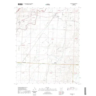
2020 Map of Donaldson
USGS Topo · Published 2020About this map
The Ouachita River winds through the northern landscape of this region, creating distinct geographical features like Morrison Island near the settlement of Midway. The area is characterized by a network of creeks and bayous, including DeLisle Cr, Cox Bayou, and Easley Cr, which define the drainage patterns between the small communities of Donaldson and Friendship. This topography reflects the transition between the river lowlands and the higher ground where many of the area's oldest markers are found.
Find a feature on this map
88 named features on this map. Tap any name to fly to it.
Don’t see what you’re looking for? This feature index may not catch every label — zoom into the map to look around manually.
Map Details
Editions of this 2020 Donaldson Map
This is the sole edition of this map. No revisions or reprints were ever made.
Other maps of this area

1948 · Malvern
USGS Topo · 1:62,500

1949 · Malvern
USGS Topo · 1:62,500

1955 · Little Rock
USGS Topo · 1:250,000

1956 · Little Rock
USGS Topo · 1:250,000

1959 · Caddo Valley
USGS Topo · 1:24,000

1959 · Arkadelphia
USGS Topo · 1:24,000

1960 · Little Rock
USGS Topo · 1:250,000

1964 · Little Rock
USGS Topo · 1:250,000

1964 · Donaldson
USGS Topo · 1:24,000

1965 · Round Hill
USGS Topo · 1:24,000