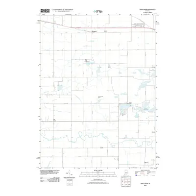
2010 Map of Donaldson
USGS Topo · Published 2010About this map
Yellow River meanders across the southern reach of this landscape, anchoring a rural Marshall County district defined by small farming hamlets and early transportation corridors. The historic W Lincoln Hwy and Lincoln Hwy cut through the northern section, passing by the settlement of Donaldson and the nearby Donaldson Cemetery. This map provides a clear look at the water management patterns of the early 21st century, with numerous drainage works like Bartinger Ditch and Harry Cool Ditch feeding into natural basins like Eagle Lake and Pretty Lake. Local industry and history are visible in the eastern section near Zehner Millpond, where both the Zehner Millpond Dam and Lake Latonka Dam regulate the flow. Genealogists will find several family and community burial sites, including Mount Carmel Cemetery and McElrath Cemetery, alongside the small crossroads of Burr Oak and Hibbard.
Find a feature on this map
55 named features on this map. Tap any name to fly to it.
Don’t see what you’re looking for? This feature index may not catch every label — zoom into the map to look around manually.
Map Details
Editions of this 2010 Donaldson Map
This is the sole edition of this map. No revisions or reprints were ever made.
Other maps of this area

1953 · Chicago
USGS Topo · 1:250,000

1957 · Chicago
USGS Topo · 1:250,000

1957 · Knox East
USGS Topo · 1:24,000

1957 · Plymouth
USGS Topo · 1:24,000

1958 · Donaldson
USGS Topo · 1:24,000

1958 · La Paz
USGS Topo · 1:24,000

1958 · Hamlet
USGS Topo · 1:24,000

1958 · Walkerton
USGS Topo · 1:24,000

1962 · Bass Lake
USGS Topo · 1:24,000

1962 · Culver
USGS Topo · 1:24,000