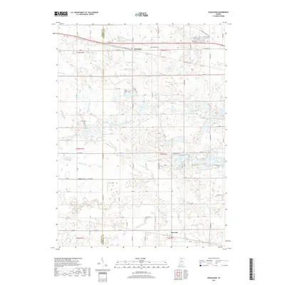
2019 Map of Donaldson
USGS Topo · Published 2019About this map
Donaldson and the surrounding Marshall County countryside are defined by an intricate network of drainage ditches that have historically reshaped this wet landscape. Waterways such as Solomon Ditch and Morse Ditch crisscross the northern sections, revealing the agricultural efforts to manage the terrain. To the south, the Yellow River meanders toward the border of Starke County, near the settlement of Burr Oak.
Find a feature on this map
78 named features on this map. Tap any name to fly to it.
Don’t see what you’re looking for? This feature index may not catch every label — zoom into the map to look around manually.
Map Details
Editions of this 2019 Donaldson Map
This is the sole edition of this map. No revisions or reprints were ever made.
Other maps of this area

1953 · Chicago
USGS Topo · 1:250,000

1957 · Chicago
USGS Topo · 1:250,000

1957 · Knox East
USGS Topo · 1:24,000

1957 · Plymouth
USGS Topo · 1:24,000

1958 · Donaldson
USGS Topo · 1:24,000

1958 · La Paz
USGS Topo · 1:24,000

1958 · Hamlet
USGS Topo · 1:24,000

1958 · Walkerton
USGS Topo · 1:24,000

1962 · Bass Lake
USGS Topo · 1:24,000

1962 · Culver
USGS Topo · 1:24,000