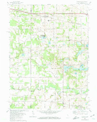
2022 Map of Donaldson
USGS Topo · Published 2022About this map
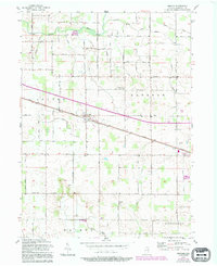
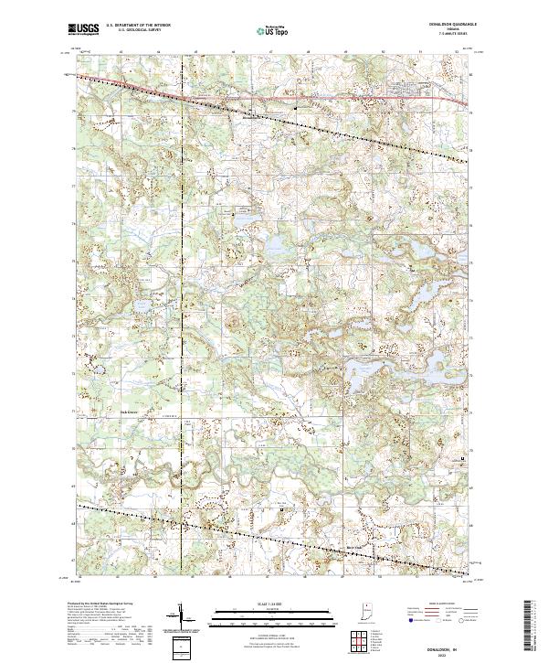
Donaldson and Burr Oak anchor this rural landscape in Marshall County, Indiana, where the terrain is defined by a dense network of drainage canals and natural water bodies. The Yellow River meanders across the southern portion of the quadrangle, joined by numerous man-made channels such as Listenberger Ditch and Harry Cool Ditch that highlight the region's managed agricultural history. Local landmarks like Ancilla College and the Lake Latonka Dam provide central points of community interest, while several family and church cemeteries, including Mount Carmel Cem and McElrath Cem, offer significant value for genealogical research.
Find a feature on this map
136 named features on this map. Tap any name to fly to it.
Don’t see what you’re looking for? This feature index may not catch every label — zoom into the map to look around manually.
Map Details
Editions of this 2022 Donaldson Map
This is the sole edition of this map. No revisions or reprints were ever made.
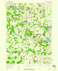
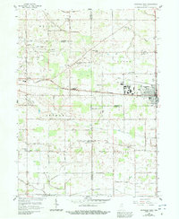
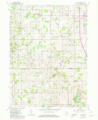
Historical Maps of Indiana Through Time
9 maps found