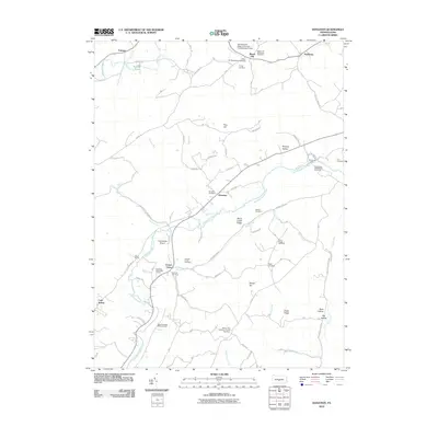
2010 Map of Donation
USGS Topo · Published 2010About this map
Standing Stone Creek meanders through this central Pennsylvania landscape, anchoring a rural network of small settlements and family farmsteads in the early 21st century. The map documents a deeply rooted community, evidenced by a high density of local burial sites such as the Evans Family Cemetery, Stewart Family Cemetery, and Steel Cemetery. From the historic milling site at Cornpropst Mills to the educational research grounds of the Pennsylvania State University Experimental Forest, the area maintains a balance between small-scale agriculture and forest management. Small hamlets like Donation, Center Union, and Manor Hill serve as local crossroads, while Feltenberger Airport provides a modern aviation link to this valley. The terrain is defined by prominent ridges like Stone Creek Ridge and Drake Ridge, which separate the many runs and hollows feeding into the primary creek system.
Find a feature on this map
84 named features on this map. Tap any name to fly to it.
Don’t see what you’re looking for? This feature index may not catch every label — zoom into the map to look around manually.
Map Details
Editions of this 2010 Donation Map
This is the sole edition of this map. No revisions or reprints were ever made.
Other maps of this area

1901 · Huntingdon
USGS Topo · 1:62,500

1904 · Huntingdon
USGS Topo · 1:62,500

1919 · Menno
USGS Topo · 1:62,500

1922 · Mt Union
USGS Topo · 1:48,000

1923 · Tyrone
USGS Topo · 1:62,500

1924 · Mt. Union
USGS Topo · 1:62,500

1929 · Tyrone
USGS Topo · 1:48,000

1933 · Tyrone
USGS Topo · 1:62,500

1935 · Allensville
USGS Topo · 1:62,500

1938 · Allensville
USGS Topo · 1:62,500