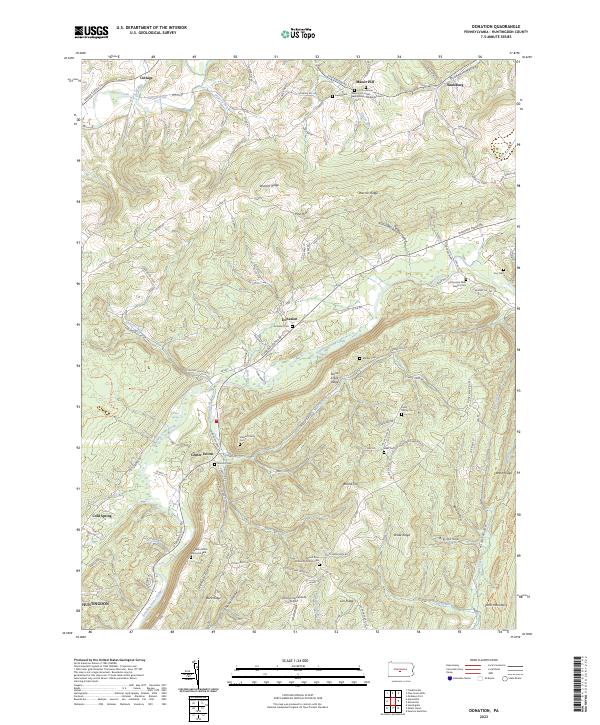
2023 Map of Donation
USGS Topo · Published 2023About this map
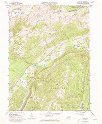
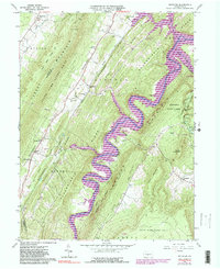
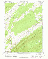
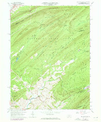
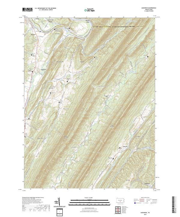
Warrior Ridge and Stone Mountain frame this central Pennsylvania valley, where rural settlements like Donation and Manor Hill follow the winding paths of Standing Stone Creek and Shaver Creek. The landscape is a complex network of family-named ridges and hollows, including Drake Ridge, Lick Ridge, and Stillhouse Hollow, reflecting generations of upland farming and timbering. Small cemeteries and rural churches, such as the Manor Hill Presbyterian Cem and Cornpropst Mills Baptist Cem, anchor the crossroads, while the Hilling International Airport provides a modern landing point in the rugged terrain between Donation and Center Union. The dense concentration of private family burial sites like Stewart Family Cem and Evans Family Cem indicates a deep-rooted genealogy of long-tenured residents along Murray Run and Mill Creek.
Find a feature on this map
108 named features on this map. Tap any name to fly to it.
Don’t see what you’re looking for? This feature index may not catch every label — zoom into the map to look around manually.
Map Details
Editions of this 2023 Donation Map
This is the sole edition of this map. No revisions or reprints were ever made.
Historical Maps of Cottage Through Time
18 maps found

1919 Menno
Huntingdon County, PA
1922 Mt. Union
Huntingdon County, PA

1944 Mt. Union
Huntingdon County, PA
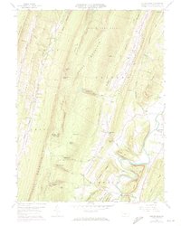
1959 Aughwick
Huntingdon County, PA
1959 Butler Knob
Huntingdon County, PA
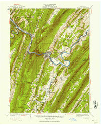
1963 Donation
Huntingdon County, PA
1963 Entriken
Huntingdon County, PA
1963 Franklinville
Huntingdon County, PA
1963 Mc Alevys Fort
Huntingdon County, PA
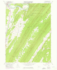
1977 Mc Alevys Fort
Huntingdon County, PA
1994 Franklinville
Huntingdon County, PA
1998 Mc Alevys Fort
Huntingdon County, PA
2023 Aughwick
Huntingdon County, PA
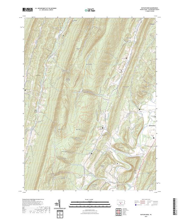
2023 Butler Knob
Huntingdon County, PA
2023 Donation
Huntingdon County, PA
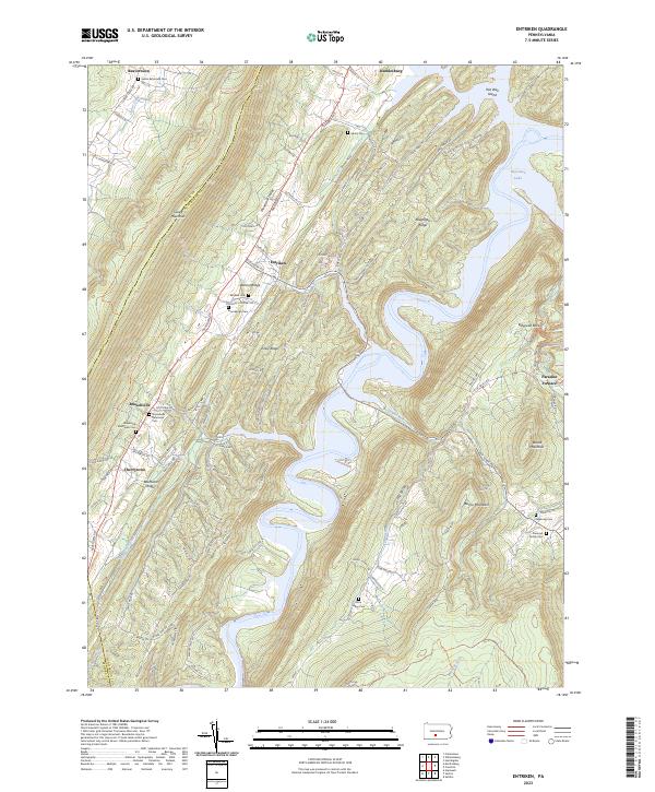
2023 Entriken
Huntingdon County, PA
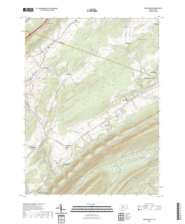
2023 Franklinville
Huntingdon County, PA
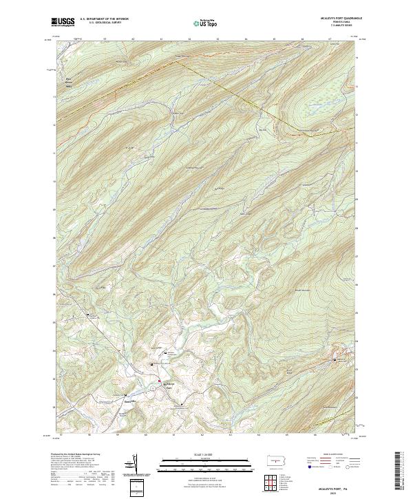
2023 McAlevys Fort
Huntingdon County, PA