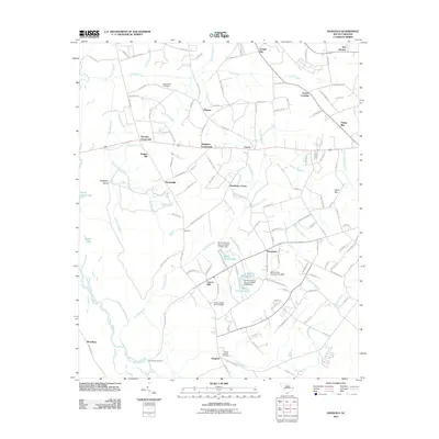
2011 Map of Dongola
USGS Topo · Published 2011About this map
The Little Pee Dee River and its complex network of bottomlands define this portion of Horry County, South Carolina. The landscape is characterized by numerous swampy bays and branches, including Oakey Bay, Juniper Bay, and Hunting Swamp, which dictate the placement of local settlements and timber-era infrastructure. Historically significant sites such as Old Antioch Cemetery and the Pauley Swamp Cemetery offer vital reference points for genealogical research in this coastal plain region.
Find a feature on this map
132 named features on this map. Tap any name to fly to it.
Don’t see what you’re looking for? This feature index may not catch every label — zoom into the map to look around manually.
Map Details
Editions of this 2011 Dongola Map
This is the sole edition of this map. No revisions or reprints were ever made.
Other maps of this area

1943 · Yauhannah
USGS Topo · 1:24,000

1943 · Bucksville
USGS Topo · 1:24,000

1943 · Dongola
USGS Topo · 1:24,000

1943 · Adrian
USGS Topo · 1:24,000

1943 · Horry
USGS Topo · 1:24,000

1943 · Conway
USGS Topo · 1:24,000

1943 · Outland
USGS Topo · 1:24,000

1944 · Outland
USGS Topo · 1:31,680

1944 · Adrian
USGS Topo · 1:31,680

1946 · Johnsonville
USGS Topo · 1:62,500