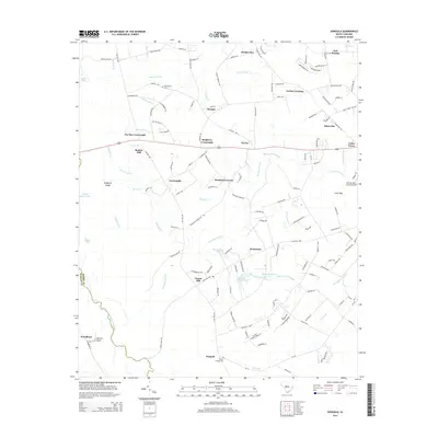
2014 Map of Dongola
USGS Topo · Published 2014About this map
The Little Pee Dee River defines the western edge of this landscape, winding along the border between Marion and Horry counties. This low-lying region is characterized by an extensive network of named wetlands and small water bodies, including the Big Cypress Swamp, Juniper Bay, and Hunting Swamp. Local life is anchored by a series of rural nodes and intersections such as Pee Dee Crossroads, Singleton Crossroads, and Hendricks Corner. Genealogy researchers can locate the Old Antioch Cem in the north and Pauley Swamp Cem near the namesake settlement of Dongola in the south. The presence of the Conway-Horry County Airport in the east and the Old Railroad Rd suggests the evolution of transportation in this corner of the South Carolina Coastal Plain.
Find a feature on this map
149 named features on this map. Tap any name to fly to it.
Don’t see what you’re looking for? This feature index may not catch every label — zoom into the map to look around manually.
Map Details
Editions of this 2014 Dongola Map
This is the sole edition of this map. No revisions or reprints were ever made.
Other maps of this area

1943 · Yauhannah
USGS Topo · 1:24,000

1943 · Bucksville
USGS Topo · 1:24,000

1943 · Dongola
USGS Topo · 1:24,000

1943 · Adrian
USGS Topo · 1:24,000

1943 · Horry
USGS Topo · 1:24,000

1943 · Conway
USGS Topo · 1:24,000

1943 · Outland
USGS Topo · 1:24,000

1944 · Outland
USGS Topo · 1:31,680

1944 · Adrian
USGS Topo · 1:31,680

1946 · Johnsonville
USGS Topo · 1:62,500