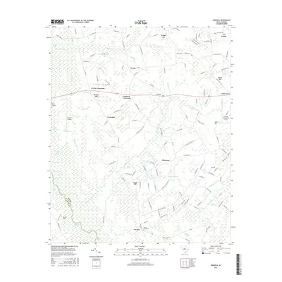
2017 Map of Dongola
USGS Topo · Published 2017About this map
The Little Pee Dee River and its dense network of swamps define this corner of Horry County, where water shapes the placement of every settlement and road. Historically significant for its connection to the river economy, the area around Dongola and Britton Neck features a landscape punctuated by unique oval depressions known locally as bays, including Oakey Bay, Kudge Bay, and Juniper Bay. These topographical features sit alongside established small communities like Bunker Hill and Brownway, while the local history is preserved at the Old Antioch Cem and Pauley Swamp-Cem.
Find a feature on this map
143 named features on this map. Tap any name to fly to it.
Don’t see what you’re looking for? This feature index may not catch every label — zoom into the map to look around manually.
Map Details
Editions of this 2017 Dongola Map
This is the sole edition of this map. No revisions or reprints were ever made.
Other maps of this area

1943 · Yauhannah
USGS Topo · 1:24,000

1943 · Bucksville
USGS Topo · 1:24,000

1943 · Dongola
USGS Topo · 1:24,000

1943 · Adrian
USGS Topo · 1:24,000

1943 · Horry
USGS Topo · 1:24,000

1943 · Conway
USGS Topo · 1:24,000

1943 · Outland
USGS Topo · 1:24,000

1944 · Outland
USGS Topo · 1:31,680

1944 · Adrian
USGS Topo · 1:31,680

1946 · Johnsonville
USGS Topo · 1:62,500