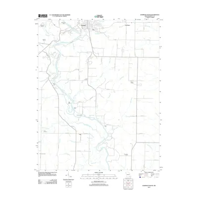
2012 Map of Doniphan South
USGS Topo · Published 2012About this map
The Current River carves a winding path south from Doniphan, defining the geography of this Missouri region with its intricate network of tributaries and riverfront settlements. Small communities and seasonal sites like Lede, Pratt, and Loreys Cabins are dispersed across the landscape, connected by a grid of county roads such as Co Road A-4 and Co Road E-2. The map reveals a high density of family and community burial grounds, including the Gartman Cemetery, Mizell Cemetery, and Dizman Cemetery, which offer significant value for genealogical research in Ripley County.
Find a feature on this map
80 named features on this map. Tap any name to fly to it.
Don’t see what you’re looking for? This feature index may not catch every label — zoom into the map to look around manually.
Map Details
Editions of this 2012 Doniphan South Map
This is the sole edition of this map. No revisions or reprints were ever made.
Other maps of this area

1935 · Acorn
USGS Topo · 1:62,500

1935 · Knobel
USGS Topo · 1:62,500

1935 · Reyno
USGS Topo · 1:62,500

1939 · Doniphan
USGS Topo · 1:62,500

1940 · Naylor
USGS Topo · 1:62,500

1941 · Knobel
USGS Topo · 1:62,500

1944 · Naylor
USGS Topo · 1:62,500

1945 · Doniphan
USGS Topo · 1:62,500

1957 · Poplar Bluff
USGS Topo · 1:250,000

1959 · Poplar Bluff
USGS Topo · 1:250,000