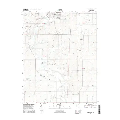
2015 Map of Doniphan South
USGS Topo · Published 2015About this map
Doniphan serves as the focal point for this survey of southern Ripley County, where the Current River carves a winding path through the landscape. The river, a dominant geographical feature, contains notable landmarks such as Big Island and is flanked by a network of tributaries including Hurricane Creek and Dudley Creek. This area of the Ozarks includes portions of the Mark Twain National Forest and is characterized by a mix of established residential streets like Cherry Street and Walnut Street and rural crossroads such as Pratt and Lede.
Find a feature on this map
56 named features on this map. Tap any name to fly to it.
Don’t see what you’re looking for? This feature index may not catch every label — zoom into the map to look around manually.
Map Details
Editions of this 2015 Doniphan South Map
This is the sole edition of this map. No revisions or reprints were ever made.
Other maps of this area

1935 · Acorn
USGS Topo · 1:62,500

1935 · Knobel
USGS Topo · 1:62,500

1935 · Reyno
USGS Topo · 1:62,500

1939 · Doniphan
USGS Topo · 1:62,500

1940 · Naylor
USGS Topo · 1:62,500

1941 · Knobel
USGS Topo · 1:62,500

1944 · Naylor
USGS Topo · 1:62,500

1945 · Doniphan
USGS Topo · 1:62,500

1957 · Poplar Bluff
USGS Topo · 1:250,000

1959 · Poplar Bluff
USGS Topo · 1:250,000