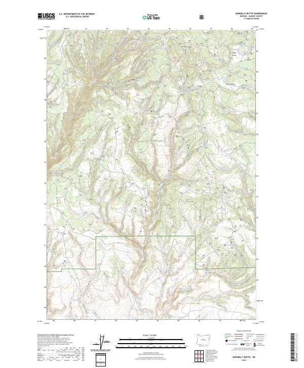
2023 Map of Donnelly Butte
USGS Topo · Published 2023About this map
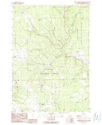
Ochoco National Forest defines the character of this Harney County landscape, dominated by the prominent elevation of Donnelly Butte and the stretching high ground of Howard Ridge. The map reveals a complex network of seasonal water sources and named springs essential to this arid environment, including Bullseye Spring, Deadhorse Spring, and Salt Canyon Spring. These features, along with the broad openings of Duffy Prairie and Boone Prairie, trace the traditional movement of livestock and wildlife through the forest. The presence of Howard Ridge Rd and Mineral Canyon provides a window into the land management and resource access of the early twenty-first century, showing how the topography dictates the sparse infrastructure of this isolated section of eastern Oregon.
Find a feature on this map
38 named features on this map. Tap any name to fly to it.
Don’t see what you’re looking for? This feature index may not catch every label — zoom into the map to look around manually.
Map Details
Editions of this 2023 Donnelly Butte Map
This is the sole edition of this map. No revisions or reprints were ever made.
Other maps of this area

1955 · Burns
USGS Topo · 1:250,000

1958 · Burns
USGS Topo · 1:250,000

1959 · Burns
USGS Topo · 1:250,000

1959 · Sawtooth Creek
USGS Topo · 1:62,500

1961 · Delintment Lake
USGS Topo · 1:62,500
1981 · Egypt Canyon
USGS Topo · 1:24,000

1981 · Camp Currey Spring
USGS Topo · 1:24,000
1982 · Dry Mountain
USGS Topo · 1:24,000
1990 · Big Mowich Mountain
USGS Topo · 1:24,000
1990 · Bear Canyon Butte
USGS Topo · 1:24,000