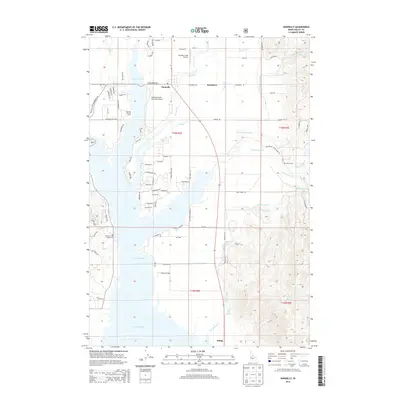
2013 Map of Donnelly
USGS Topo · Published 2013About this map
Lake Cascade dominates the western portion of this Idaho landscape, where the waters of Poison Cr and Mud Cr feed into the reservoir. The town of Donnelly serves as a central hub, situated near the Donald D Coski Memorial Airport and the smaller settlement of Roseberry. This 2013 survey illustrates a complex water management system East of the lake, featuring the Gold Fork Canal, Center Canal, and the E Fork Roseberry Ditch, which redirect flow across the valley floor. To the south, Arling sits near the Arling Hot Spring, while the surrounding terrain is marked by essential local landmarks including the Homes Cem and the Boulder Creek Airstrip. The map details a transition from the structured residential roads of the lakefront to the agricultural and irrigation-focused network of the eastern flats.
Find a feature on this map
88 named features on this map. Tap any name to fly to it.
Don’t see what you’re looking for? This feature index may not catch every label — zoom into the map to look around manually.
Map Details
Editions of this 2013 Donnelly Map
This is the sole edition of this map. No revisions or reprints were ever made.
Other maps of this area
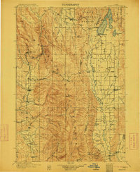
1911 · Meadows
USGS Topo · 1:125,000
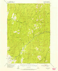
1954 · Gold Fork
USGS Topo · 1:62,500
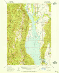
1954 · Cascade
USGS Topo · 1:62,500

1955 · Baker
USGS Topo · 1:250,000
1957 · Challis
USGS Topo · 1:250,000

1959 · Baker
USGS Topo · 1:250,000
1960 · Challis
USGS Topo · 1:250,000
1963 · Challis
USGS Topo · 1:250,000
1973 · No Business Mtn
USGS Topo · 1:24,000
1973 · Paddy Flat
USGS Topo · 1:24,000