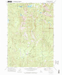
1973 Map of Paddy Flat
USGS Topo · Published 1977About this map
The Payette National Forest high country dominates this mid-1970s survey, showing a landscape defined by seasonal alpine access and forest management. At the heart of the area, Paddy Flat serves as a central hub, anchored by the Paddy Flat Forest Service Station and the nearby Paddy Flat Campground. This region was vital for early forest service operations and summer recreation, with a network of pack trails and jeep trails connecting remote water bodies like Louie Lake and the Kennally Lakes.
Find a feature on this map
47 named features on this map. Tap any name to fly to it.
Don’t see what you’re looking for? This feature index may not catch every label — zoom into the map to look around manually.
Map Details
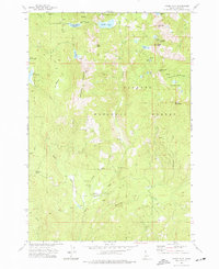
Editions of this 1973 Paddy Flat Map
2 editions found
Other maps of this area

1911 · Meadows
USGS Topo · 1:125,000

1954 · Gold Fork
USGS Topo · 1:62,500

1954 · Cascade
USGS Topo · 1:62,500

1955 · Baker
USGS Topo · 1:250,000

1957 · Challis
USGS Topo · 1:250,000

1959 · Baker
USGS Topo · 1:250,000

1960 · Challis
USGS Topo · 1:250,000

1963 · Challis
USGS Topo · 1:250,000

1973 · Blackmare
USGS Topo · 1:24,000

1973 · Fitsum Peak
USGS Topo · 1:24,000