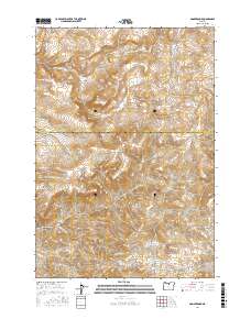
2017 Map of Donnybrook
USGS Topo · Published 2017About this map
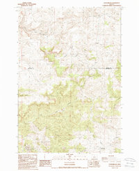
Donnybrook sits near the southern edge of this Central Oregon landscape, where the administrative boundary between Wasco Co and Jefferson Co cuts across a complex system of drainages. The area is defined by its canyon systems, most notably Tub Springs Canyon and Kirkbride Canyon, which feed into local waterways like Cold Camp Cr and Little Trout Cr.
Find a feature on this map
20 named features on this map. Tap any name to fly to it.
Don’t see what you’re looking for? This feature index may not catch every label — zoom into the map to look around manually.
Map Details
Editions of this 2017 Donnybrook Map
This is the sole edition of this map. No revisions or reprints were ever made.
Other maps of this area

1955 · Bend
USGS Topo · 1:250,000

1957 · Bend
USGS Topo · 1:250,000
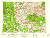
1958 · Bend
USGS Topo · 1:250,000
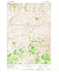
1966 · Antelope
USGS Topo · 1:62,500
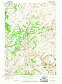
1966 · Willowdale
USGS Topo · 1:62,500
1968 · Horse Heaven Creek
USGS Topo · 1:24,000
1968 · Axehandle Butte
USGS Topo · 1:24,000
1968 · Ashwood
USGS Topo · 1:24,000
1981 · Stephenson Mountain
USGS Topo · 1:100,000
1987 · Donnybrook
USGS Topo · 1:24,000