
1968 Map of Axehandle Butte
USGS Topo · Published 1971About this map
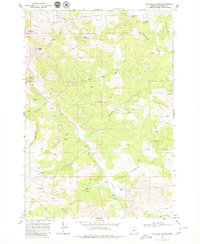
Ashwood and the neighboring Ash Butte sit at the western edge of this central Oregon landscape, where the high desert terrain is defined by a network of drainage draws and prominent volcanic peaks. The area's mining and ranching history is evidenced by the Axehandle Mine situated near the northern ridge and the Norton Ranch located further south along the winding course of Trout Creek.
Find a feature on this map
31 named features on this map. Tap any name to fly to it.
Don’t see what you’re looking for? This feature index may not catch every label — zoom into the map to look around manually.
Map Details
Editions of this 1968 Axehandle Butte Map
2 editions found
Other maps of this area

1955 · Bend
USGS Topo · 1:250,000

1957 · Bend
USGS Topo · 1:250,000

1958 · Bend
USGS Topo · 1:250,000

1966 · Antelope
USGS Topo · 1:62,500

1966 · Willowdale
USGS Topo · 1:62,500

1968 · Horse Heaven Creek
USGS Topo · 1:24,000

1968 · Dutchman Creek
USGS Topo · 1:24,000

1968 · Ashwood
USGS Topo · 1:24,000

1968 · Opal Mountain
USGS Topo · 1:24,000
1969 · Foley Butte
USGS Topo · 1:24,000