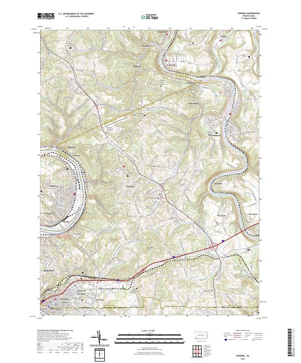
2023 Map of Donora
USGS Topo · Published 2023About this map
The Monongahela River and Youghiogheny River carve deep valleys through this western Pennsylvania landscape, defining the industrial and residential corridors of Donora and Monessen. In the high ground between these river bends, suburban and rural communities like Fellsburg and Collinsburg sit among landmarks such as the Rostraver Airport. This modern survey illustrates the persistence of early regional history through its dense concentration of burial grounds, including the Round Hill Cem and Saint Mary's Byzantine Cem. Along the eastern riverbank, the Great Allegheny Passage Trl follows the old rail grade past West Newton and Reduction, mirroring the winding path of the Youghiogheny River Water Trl. The map documents a landscape of steep hollows like Kelly Hollow and Ella Hollow, where small settlements like Webster and Blythedale maintain their distinct identities despite the proximity of larger towns.
Find a feature on this map
68 named features on this map. Tap any name to fly to it.
Don’t see what you’re looking for? This feature index may not catch every label — zoom into the map to look around manually.
Map Details
Editions of this 2023 Donora Map
This is the sole edition of this map. No revisions or reprints were ever made.
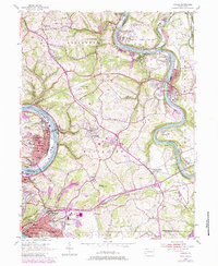
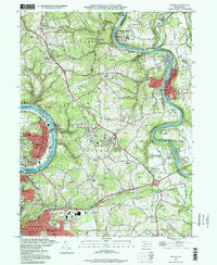
Historical Maps of Rankins Corners Through Time
3 maps found