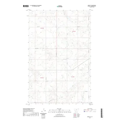
2020 Map of Dooley SE
USGS Topo · Published 2020About this map
Sheridan County's high plains are defined by a grid of rural section lines and the seasonal flow of Marron Creek. This 2020 topographic study of the Dooley SE area reveals a landscape organized by extensive farm access and county roads, reflecting the enduring agricultural footprint of northeastern Montana. The map is particularly useful for local historians and genealogists, as it identifies the locations of Trinity Cem along Trinity Rd and Bethany Cem near the junction of Ator Creek Rd. Waterways such as Antelope Cr and the S Fork Antelope Cr wind through the township boundaries of t36n r56e and t35n r57e, following the natural drainage patterns of the prairie. The road network, including the aptly named Blue Trail Rd and Dutch Valley Rd, illustrates the connectivity between remote farmsteads and established family land holdings.
Find a feature on this map
20 named features on this map. Tap any name to fly to it.
Don’t see what you’re looking for? This feature index may not catch every label — zoom into the map to look around manually.
Map Details
Editions of this 2020 Dooley SE Map
This is the sole edition of this map. No revisions or reprints were ever made.
Other maps of this area
1948 · Antelope
USGS Topo · 1:24,000
1949 · Antelope
USGS Topo · 1:24,000

1954 · Wolf Point
USGS Topo · 1:250,000

1958 · Wolf Point
USGS Topo · 1:250,000
1983 · Dooley
USGS Topo · 1:24,000
1983 · Tadpole Lake
USGS Topo · 1:24,000
1983 · Dooley SW
USGS Topo · 1:24,000
1983 · Dooley SE
USGS Topo · 1:24,000
1983 · Lone Tree Lake
USGS Topo · 1:24,000
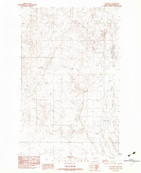
1983 · Coalridge
USGS Topo · 1:24,000