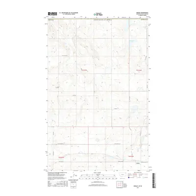
2017 Map of Dooley
USGS Topo · Published 2017About this map
Dooley sits at the southern edge of this Sheridan County landscape, where the prairie of northeastern Montana meets the international border. This 2017 survey reveals a terrain defined by glacial depressions and intermittent water bodies, most notably Brightsmen Lake and Johnson Lake in the northeastern corner. For those tracing family histories or early 20th-century settlement patterns in the Big Muddy Valley area, the Wankel Cem remains a primary landmark west of the townsite. The road network reflects a structured grid of ranch-to-market routes such as Box Elder Rd and Raymond Dooley Rd, while names like Outlaw Coulee Rd hint at the local lore of the High Line. The map also delineates the precise township and range boundaries, including t37n r55e, providing a clear framework for locating specific historical land parcels.
Find a feature on this map
18 named features on this map. Tap any name to fly to it.
Don’t see what you’re looking for? This feature index may not catch every label — zoom into the map to look around manually.
Map Details
Editions of this 2017 Dooley Map
This is the sole edition of this map. No revisions or reprints were ever made.
Other maps of this area
1954 · Wolf Point
USGS Topo · 1:250,000
1958 · Wolf Point
USGS Topo · 1:250,000
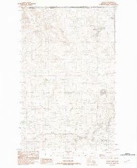
1983 · Dooley
USGS Topo · 1:24,000
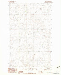
1983 · Dooley SW
USGS Topo · 1:24,000
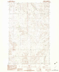
1983 · Dooley SE
USGS Topo · 1:24,000
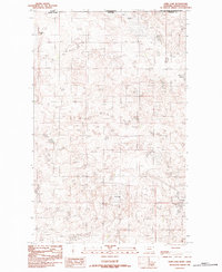
1983 · Park Lake
USGS Topo · 1:24,000
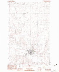
1983 · Plentywood
USGS Topo · 1:24,000
1983 · Raymond
USGS Topo · 1:24,000
2011 · Dooley
USGS Topo · 1:24,000
2011 · Dooley SW
USGS Topo · 1:24,000