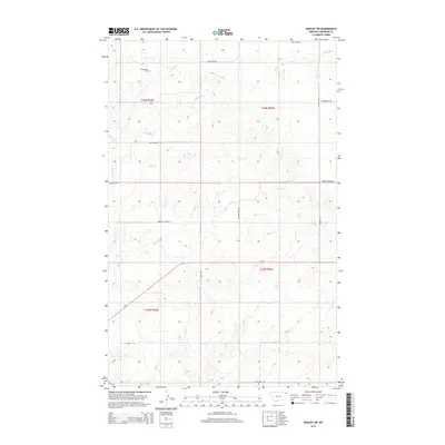
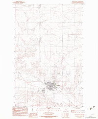
2014 Map of Dooley SW
USGS Topo · Published 2014About this map
Christensen Cem stands as a quiet landmark in the northwestern corner of this Sheridan County landscape, reflecting the homesteading history of the northeastern Montana plains. The terrain is defined by the winding paths of Boxelder Cr, Marron Cr, and Ator Cr, which carve subtle drainage patterns across the high prairie. Transportation in this era relies on a grid of rural routes such as Box Elder Rd, Sunrise Rd, and Fourmile Rd, with Mt-5 providing the primary corridor through the southern half of the quadrangle. The map documents the persistent township and range structure of the American West, showing the spatial organization of t36n r55e, t36n r56e, t35n r56e, and t35n r55e during the early 21st century.
Find a feature on this map
17 named features on this map. Tap any name to fly to it.
Don’t see what you’re looking for? This feature index may not catch every label — zoom into the map to look around manually.
Map Details
Editions of this 2014 Dooley SW Map
This is the sole edition of this map. No revisions or reprints were ever made.
Other maps of this area
1948 · Antelope
USGS Topo · 1:24,000
1949 · Antelope
USGS Topo · 1:24,000
1950 · Shippe Canyon
USGS Topo · 1:24,000

1954 · Wolf Point
USGS Topo · 1:250,000

1958 · Wolf Point
USGS Topo · 1:250,000
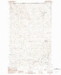
1983 · Dooley
USGS Topo · 1:24,000
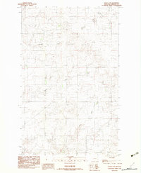
1983 · Dooley SW
USGS Topo · 1:24,000
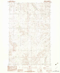
1983 · Dooley SE
USGS Topo · 1:24,000
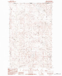
1983 · Park Lake
USGS Topo · 1:24,000
1983 · Plentywood
USGS Topo · 1:24,000