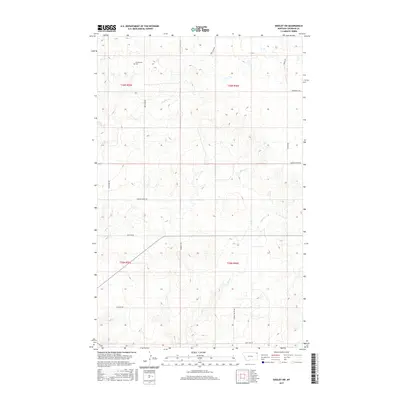
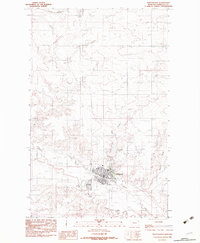
2017 Map of Dooley SW
USGS Topo · Published 2017About this map
Christensen Cem sits in the northern reaches of this Sheridan County landscape, serving as a quiet focal point for genealogists and local historians. This corner of northeastern Montana is defined by a sparse network of section-line roads and seasonal drainage systems. The terrain is etched by the winding paths of Boxelder Cr, Marron Cr, and Ator Cr, which carve subtle depressions through the high plains.
Find a feature on this map
17 named features on this map. Tap any name to fly to it.
Don’t see what you’re looking for? This feature index may not catch every label — zoom into the map to look around manually.
Map Details
Editions of this 2017 Dooley SW Map
This is the sole edition of this map. No revisions or reprints were ever made.
Other maps of this area
1948 · Antelope
USGS Topo · 1:24,000
1949 · Antelope
USGS Topo · 1:24,000
1950 · Shippe Canyon
USGS Topo · 1:24,000

1954 · Wolf Point
USGS Topo · 1:250,000

1958 · Wolf Point
USGS Topo · 1:250,000
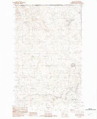
1983 · Dooley
USGS Topo · 1:24,000
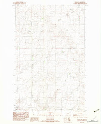
1983 · Dooley SW
USGS Topo · 1:24,000
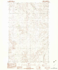
1983 · Dooley SE
USGS Topo · 1:24,000
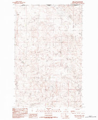
1983 · Park Lake
USGS Topo · 1:24,000
1983 · Plentywood
USGS Topo · 1:24,000