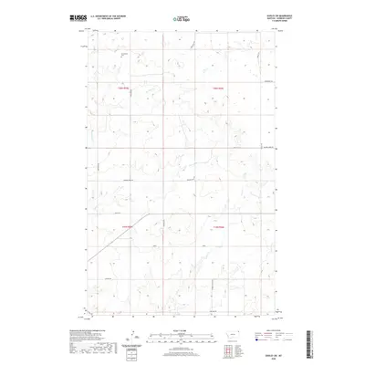
2020 Map of Dooley SW
USGS Topo · Published 2020About this map
Christensen Cem sits in the northern section of this Sheridan County landscape, serving as a quiet focal point for local family history research. This corner of Montana is defined by its intermittent drainage systems, where Boxelder Cr, Marron Cr, and Ator Cr carve subtle pathways through the open plains. The map reveals a highly structured grid of section lines and gravel routes, illustrating the enduring influence of the Public Land Survey System on modern navigation and property boundaries. A network of rural roads, including Stormy Valley Rd and Lone Star Rd, connects remote holdings, while Blue Tr Rd and La Migra Rd suggest the practical, local naming conventions that ground the area's identity. This documentation by the U.S. Geological Survey emphasizes the intersection of natural hydrology and human passage in a wide-open prairie environment.
Find a feature on this map
17 named features on this map. Tap any name to fly to it.
Don’t see what you’re looking for? This feature index may not catch every label — zoom into the map to look around manually.
Map Details
Editions of this 2020 Dooley SW Map
This is the sole edition of this map. No revisions or reprints were ever made.
Other maps of this area

1948 · Antelope
USGS Topo · 1:24,000

1949 · Antelope
USGS Topo · 1:24,000

1950 · Shippe Canyon
USGS Topo · 1:24,000

1954 · Wolf Point
USGS Topo · 1:250,000

1958 · Wolf Point
USGS Topo · 1:250,000

1983 · Dooley
USGS Topo · 1:24,000

1983 · Dooley SW
USGS Topo · 1:24,000

1983 · Dooley SE
USGS Topo · 1:24,000

1983 · Park Lake
USGS Topo · 1:24,000

1983 · Plentywood
USGS Topo · 1:24,000