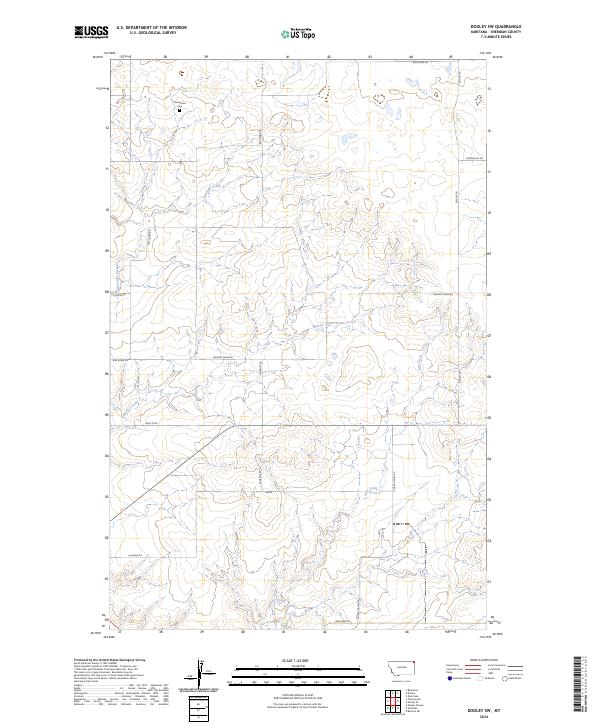
2024 Map of Dooley SW
USGS Topo · Published 2024About this map
Christensen Cem sits in the northern section of this Sheridan County landscape, a vital landmark for genealogists tracing early families in this corner of Montana. The terrain is defined by a sparse but organized network of rural routes and the wandering paths of Boxelder Creek and Marron Creek. This 2024 survey documents a modern cattle-ranching and dryland farming environment where long-established road names like Soderquist Rd and Stormy Valley Rd connect isolated homestead sites. The drainage of Ator Creek cuts through the eastern half of the map, illustrating the hydrology that dictates the movement and settlement patterns of this high plains region.
Find a feature on this map
18 named features on this map. Tap any name to fly to it.
Don’t see what you’re looking for? This feature index may not catch every label — zoom into the map to look around manually.
Map Details
Editions of this 2024 Dooley SW Map
This is the sole edition of this map. No revisions or reprints were ever made.
Other maps of this area

1948 · Antelope
USGS Topo · 1:24,000

1949 · Antelope
USGS Topo · 1:24,000

1950 · Shippe Canyon
USGS Topo · 1:24,000

1954 · Wolf Point
USGS Topo · 1:250,000

1958 · Wolf Point
USGS Topo · 1:250,000

1983 · Dooley
USGS Topo · 1:24,000

1983 · Dooley SW
USGS Topo · 1:24,000

1983 · Dooley SE
USGS Topo · 1:24,000

1983 · Park Lake
USGS Topo · 1:24,000

1983 · Plentywood
USGS Topo · 1:24,000