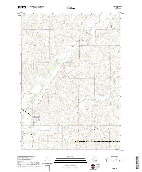
2022 Map of Doon
USGS Topo · Published 2022About this map
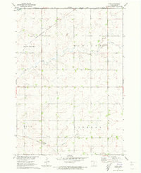
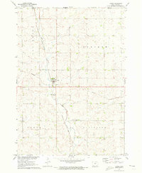
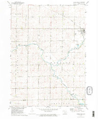
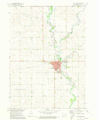
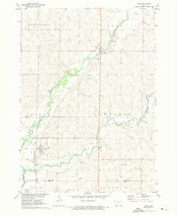
Doon serves as the primary settlement on this Lyon County landscape, where the confluence of the Rock River and Little Rock River shapes the local topography. The map illustrates a rural economy organized around a precise section-line grid, typical of the American Midwest, with residential streets in Doon such as Main St, N 1st St, and Barton Ave concentrated near the riverbanks. The surrounding area is defined by farm-to-market roads like Co Hwy A52 and Co Hwy K42, which connect the scattered agricultural homesteads.
Find a feature on this map
38 named features on this map. Tap any name to fly to it.
Don’t see what you’re looking for? This feature index may not catch every label — zoom into the map to look around manually.
Map Details
Editions of this 2022 Doon Map
This is the sole edition of this map. No revisions or reprints were ever made.
Other maps of this area

1955 · Sioux Falls
USGS Topo · 1:250,000

1958 · Sioux Falls
USGS Topo · 1:250,000
1964 · Boyden
USGS Topo · 1:24,000
1964 · Hull
USGS Topo · 1:24,000
1968 · Rock Valley
USGS Topo · 1:24,000
1971 · Edna
USGS Topo · 1:24,000
1971 · Lester
USGS Topo · 1:24,000
1971 · George West
USGS Topo · 1:24,000
1971 · Rock Rapids
USGS Topo · 1:24,000
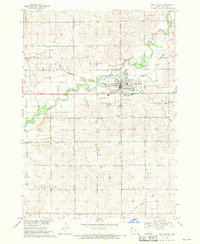
1971 · Doon
USGS Topo · 1:24,000