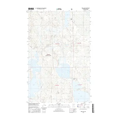
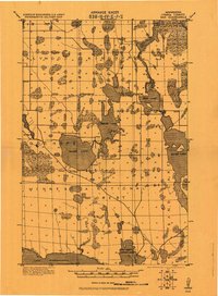
2016 Map of Dora Lake
USGS Topo · Published 2016About this map
The Chippewa National Forest dominates this landscape in northern Minnesota, where the Bowstring River and Popple River converge into a network of expansive wetlands and lakes. The small settlement of Dora Lake sits near the northern edge, while Oslund is situated further south among the marshes. This area is defined by its complex hydrology, featuring the Shogren Dam Impoundment and several large water bodies including Rice Lake, Sand Lake, and the smaller Schoolhouse Lake. Genealogists may find value in the presence of Popple Cem and Pine Grove Cem, which serve as quiet markers of the community's history amidst the timber and water. The road network, including Dora Lake Rd and Townhall Rd, provides access through the densely wooded terrain of Itasca County.
Find a feature on this map
35 named features on this map. Tap any name to fly to it.
Don’t see what you’re looking for? This feature index may not catch every label — zoom into the map to look around manually.
Map Details
Editions of this 2016 Dora Lake Map
This is the sole edition of this map. No revisions or reprints were ever made.
Other maps of this area
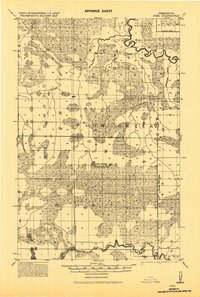
1918 · Zora
USGS Topo · 1:62,500
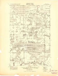
1919 · Zora
USGS Topo · 1:62,500
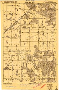
1919 · Gemmell
USGS Topo · 1:62,500
1919 · Max
USGS Topo · 1:62,500

1954 · Bemidji
USGS Topo · 1:250,000

1954 · Hibbing
USGS Topo · 1:250,000

1957 · Bemidji
USGS Topo · 1:250,000

1957 · Hibbing
USGS Topo · 1:250,000

1958 · Bemidji
USGS Topo · 1:250,000

1958 · Hibbing
USGS Topo · 1:250,000